
The Columbia River begins its 1214 Mile journey to the sea.
Near Astoria Oregon on the boarder with Washington the Columbia River meets the Pacific Ocean.
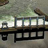
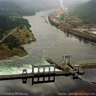
Of the rivers 1214 miles, only about 200 miles of river remain free flowing. In all there are 12 dams along the Columbia River.
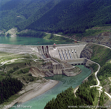
Dams present obstacles to Salmon trying to migrate upstream. Routine drawing down of reservoirs erodes river banks and causes siltation which harms fish populations.
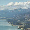
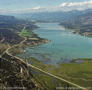
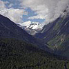
The last healthy trout spawning habitat in the free flowing Columbia River.
The Columbia River drains 258,200 square miles.
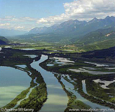
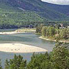
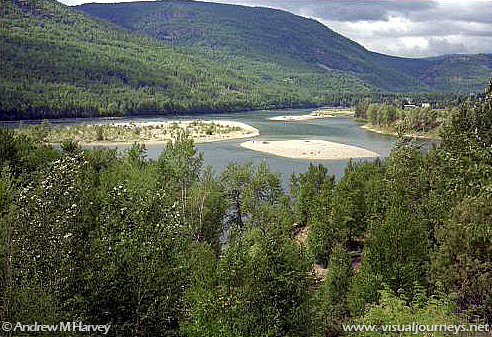
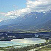
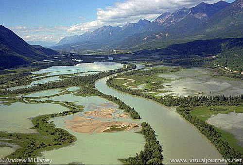
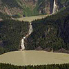
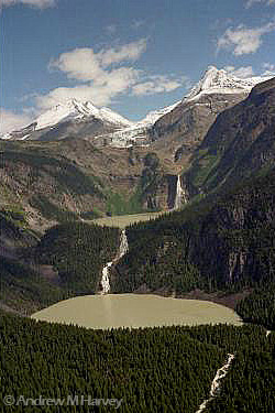
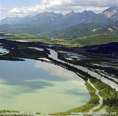
Meandering Channels.
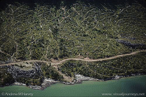
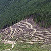
Clear cuts like this are common along the river in BC. Such logging threatens the rivers health and the species that live there.
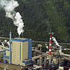
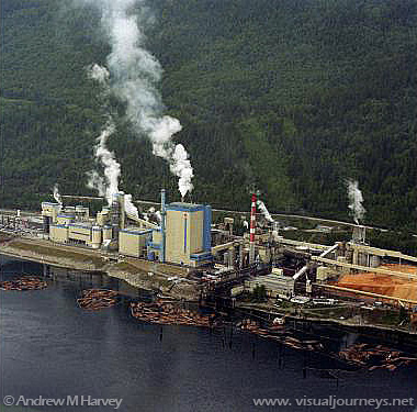
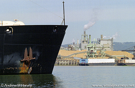
Heavy logging along the Columbia River supports large mills.
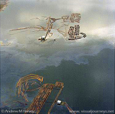
Oil Slicks such as this one caused by logging operations foul the waters of the river and harm wildlife.
The Cummins Valley supports the last old growth Hemlock Rain Forests in the Rocky Mountain Trench which is home to the endangered Mountain Caribou. When this Photograph was made the entire Cummins valley was threatened with massive logging projects.
Although the Cummins watershed is now protected - logging continues to threaten important forest habitat to the north which supports the Mountain Caribou and other threatened species.
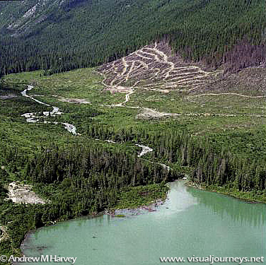
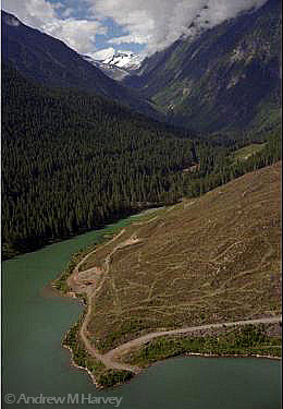
Logging adjacent to the protected Cummins watershed causes visible siltation where the creek drains into the Columbia River.
The impact of logging and other erosive activities along the Columbia has created enough silt near Portland Oregon to threaten the Port of Portland's bustling freight traffic.
Roll on Columbia, Roll On.
The Columbia River
Photographs by: Andrew M. Harvey
Please enjoy the photographs, and check back soon for more information.